
Interactive Map of Qualified Census Tracts for Neighborhood Homes Funding
This interactive map highlights Qualified Census Tracts (QCTs) eligible for Neighborhood Homes funding. Use it to identify communities that meet the program’s criteria and explore opportunities for targeted investment and revitalization.
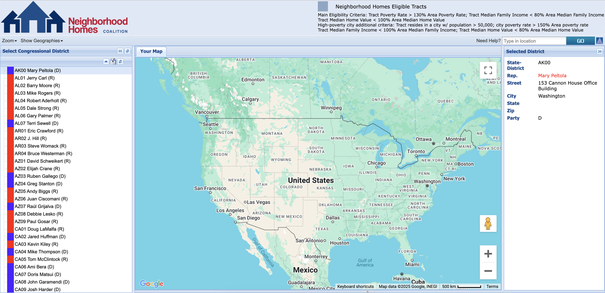
Click the map above to interact with the GIS application.